How to Read a Japanese Hazard Map (Even If You Can't Read Japanese)
A hazard map tells you which dangers reach your street and where to go when they do. You do not need to read Japanese to get the most important information — the colours and symbols do most of the work.
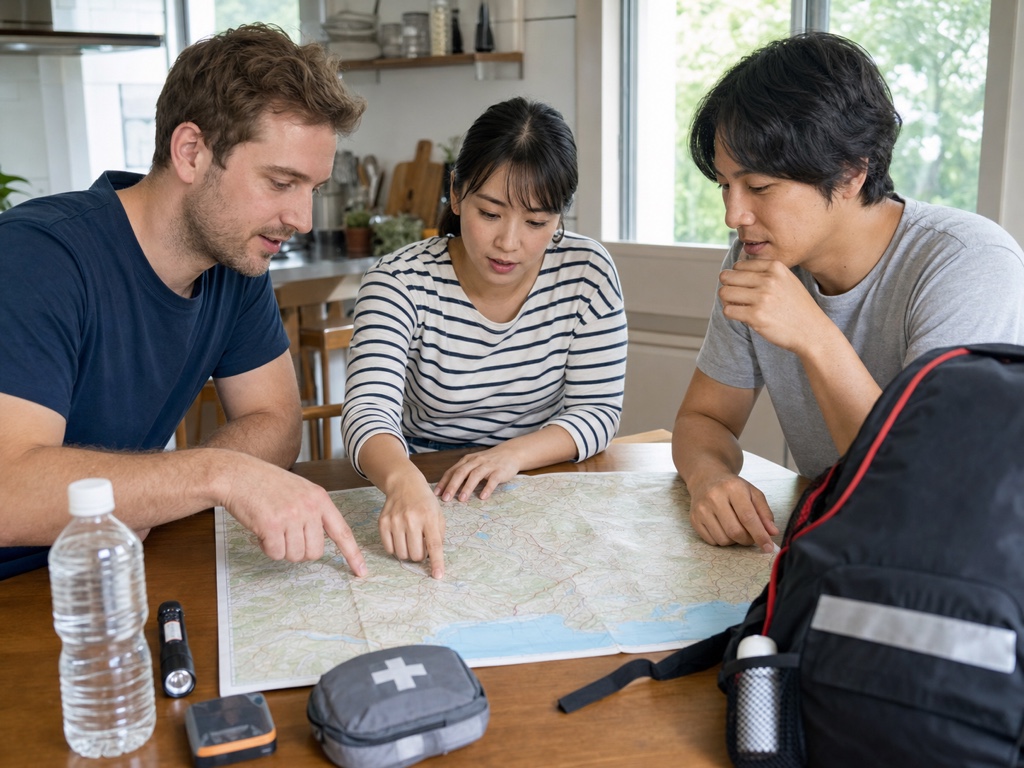
A hazard map (hazado mappu) is a local map that shows which natural hazards can affect a specific area and where people should go if they need to evacuate. Every municipality in Japan publishes one. Reading it before anything happens is one of the simplest and most useful things you can do to stay safe.
What a hazard map is
A hazard map layers risk information on top of an ordinary street map. It shows things like how deep floodwater could reach, which slopes could collapse, and how far a tsunami might travel inland. It also marks official evacuation sites. The point is not to frighten you — it is to help you decide, calmly and in advance, whether your home is at risk and where you would go.
Where to find yours
There are two easy places to look. First, your city, ward, town, or village website almost always has a hazard map section — search for your municipality's name together with "hazard map". Second, the national Hazard Map Portal Site lets you enter an address and see hazard layers for that exact location. Many local maps are also available as printed booklets from your city office, sometimes with translated versions or simple pictograms.
The main map types
Hazard information is usually split into separate maps, one per hazard. The most common types are:
- Flood / inundation — areas that could flood when rivers overflow, and how deep the water might get.
- Landslide / sediment disaster — steep slopes and valleys where soil, rock, or debris could give way, often after heavy rain.
- Tsunami — coastal and low-lying zones that could be reached by a tsunami, mainly near the sea.
- Storm surge (high tide) — coastal flooding pushed inland by a strong typhoon.
Not every area has every map. A city far inland may have no tsunami map, while a coastal city may have all four. Check the ones that apply to where you live.
How colours show depth and severity
This is the part that works even if you cannot read a word of Japanese. On most hazard maps, colour depth signals danger: lighter shades usually mean lower or shallower risk, and darker or more intense shades mean deeper water or higher severity. A flood map, for example, typically uses a colour scale from pale (shallow) to deep (several metres of water). Find your street on the map, note its colour, then match that colour to the legend to read the meaning.
The legend and the depth scale are the key to the whole map. Always locate them first — usually in a corner or side panel — so you know exactly what each colour and symbol means before you read your area.
Finding your nearest evacuation site
Evacuation sites (hinanjo) are marked with symbols, often a running-person icon or a building marker. Some sites are safe for some hazards but not others, so check that the site you plan to use is valid for the hazard you are facing — for example, a low building may be fine for an earthquake but unsuitable for a tsunami. Find the nearest suitable site to your home and trace a walking route that avoids the darkest hazard zones.
Check home, work, and school
Do not stop at your home. Check the hazard maps for your workplace and for your child's school or nursery too, because you might be there when something happens, or you might need to reach a family member who is. Knowing the risks and the nearest shelters for each place removes a lot of guesswork on a stressful day.
Use it with your family plan
A hazard map is most powerful when it feeds into a plan. Once you know your risks and routes, write them down: where you will go, how you will get there, and how you will contact each other. Our flood guide explains what the flood colours mean in practice, and the family emergency plan tool helps you turn what you learned into a simple written plan everyone can follow.
Where to go next
Disclaimer
This article is general information, not official advice. During an emergency, follow the latest instructions from Japanese national and local authorities.